#>        [ROWS] 497
#>      [FIELDS] 0
#>    [MODIFIED] 2025-04-24
#> [PERIODICITY] Annually [R/P1Y]
#>    [TEMPORAL] 2017-01-01 • 2017-12-31
#>  [DICTIONARY] https://data.cms.gov/resources/cpc-initiative-participating-primary-care-practices-data-dictionary
#>        [SITE] https://data.cms.gov/cms-innovation-center-programs/accountable-care-models/cpc-initiative-participating-primary-care-practices
#>  [REFERENCES] https://data.cms.gov/resources/cpc-initiative-participating-primary-care-practices-methodology
#>   [RESOURCES] https://data.cms.gov/data-api/v1/dataset-resources/24da2642-7269-4c75-9a62-0dc3a195b205
#>    [DOWNLOAD] https://data.cms.gov/sites/default/files/2020-07/CPC_Initiative__Participating_Primary_Care_Practices.csv
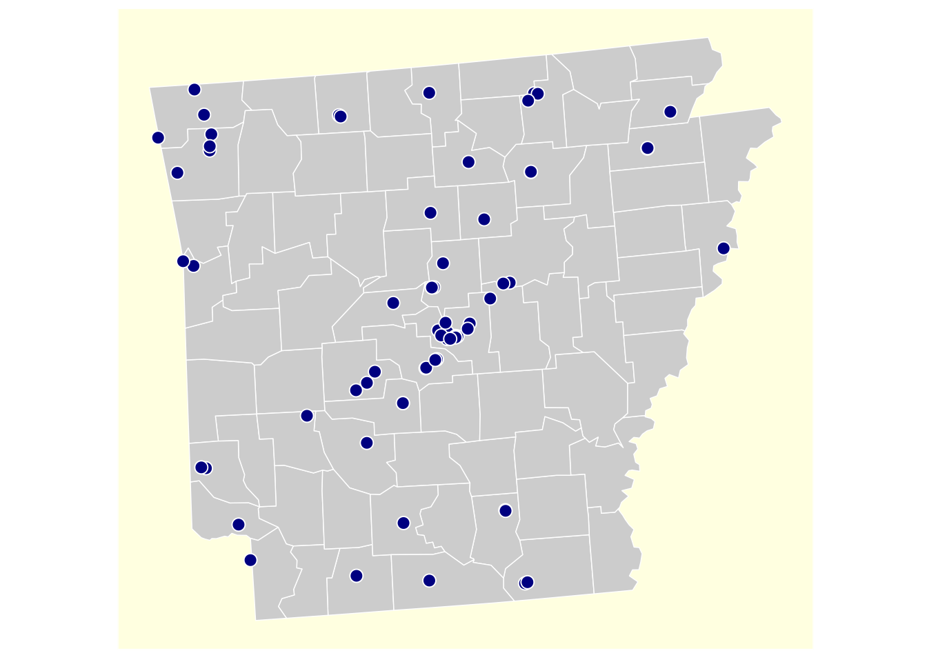
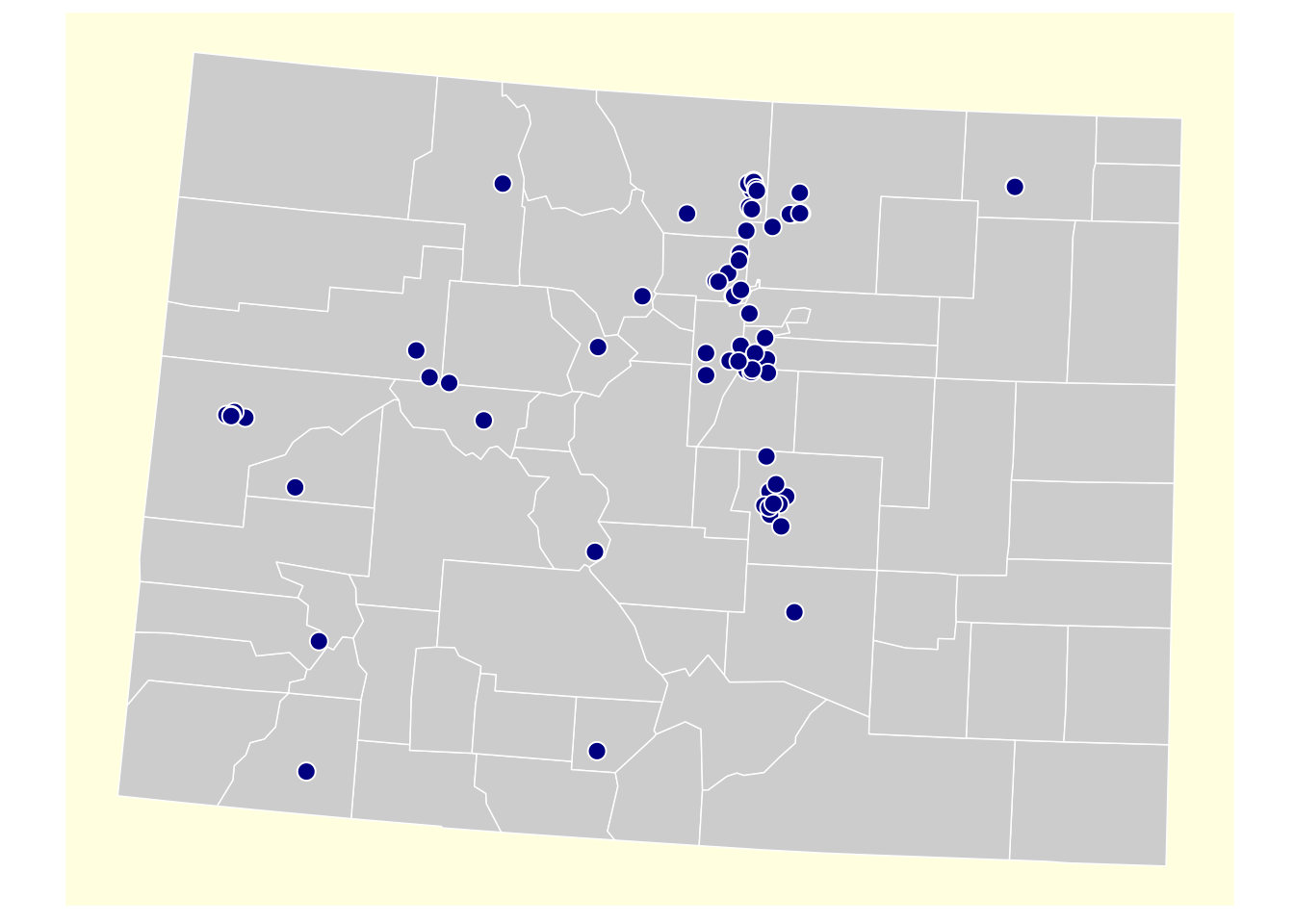
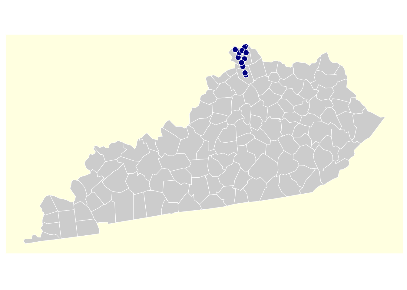
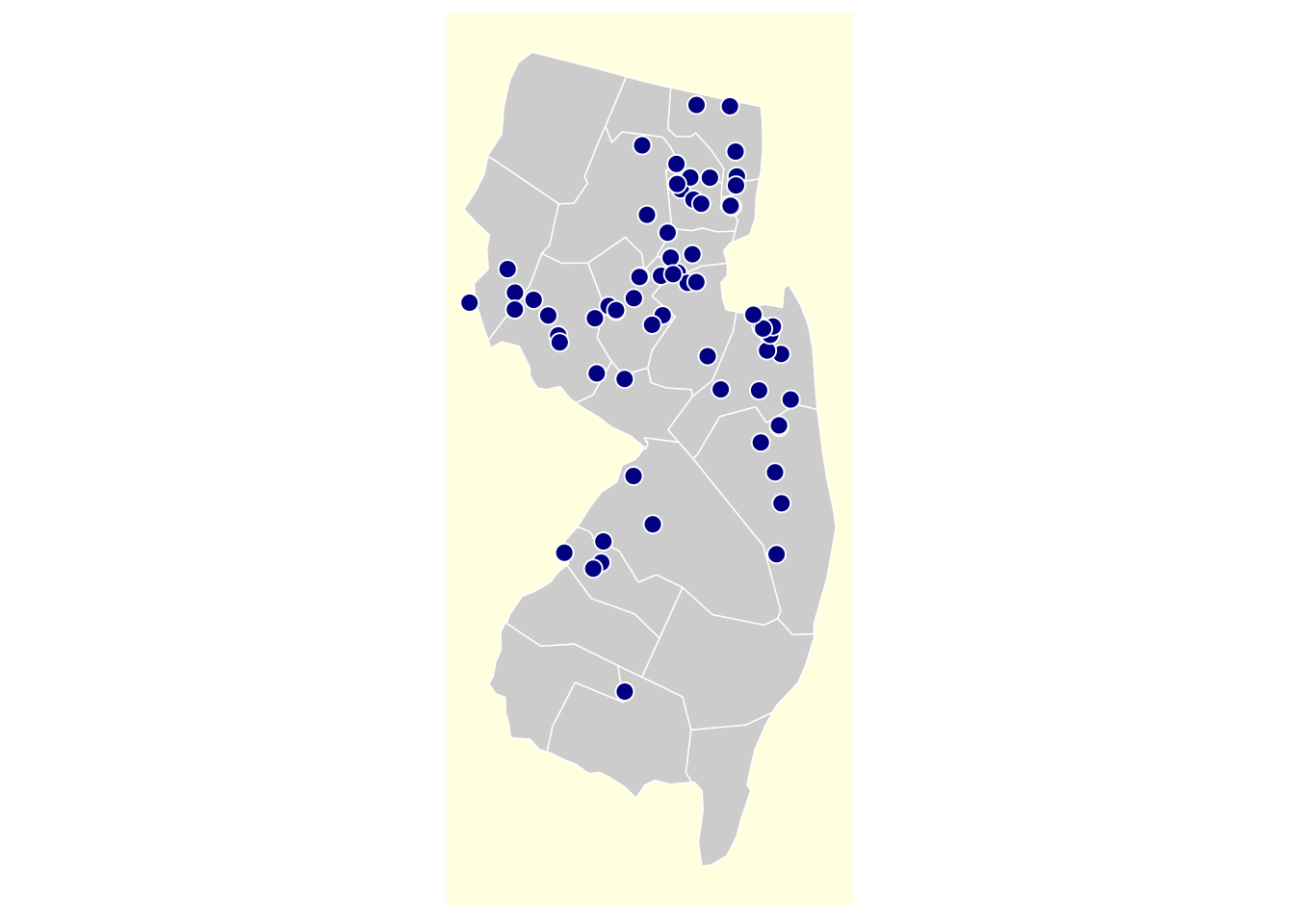
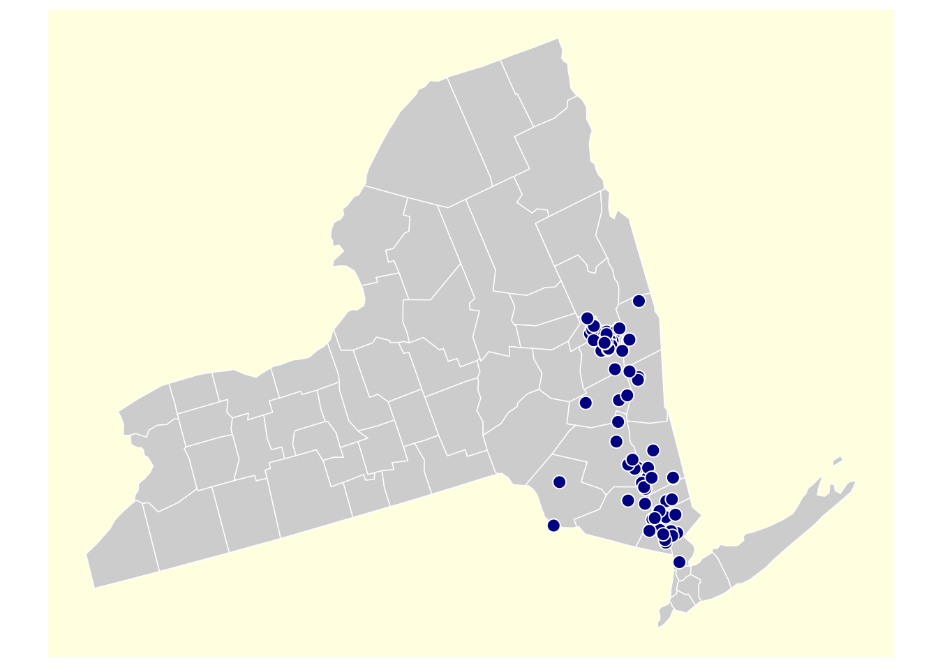
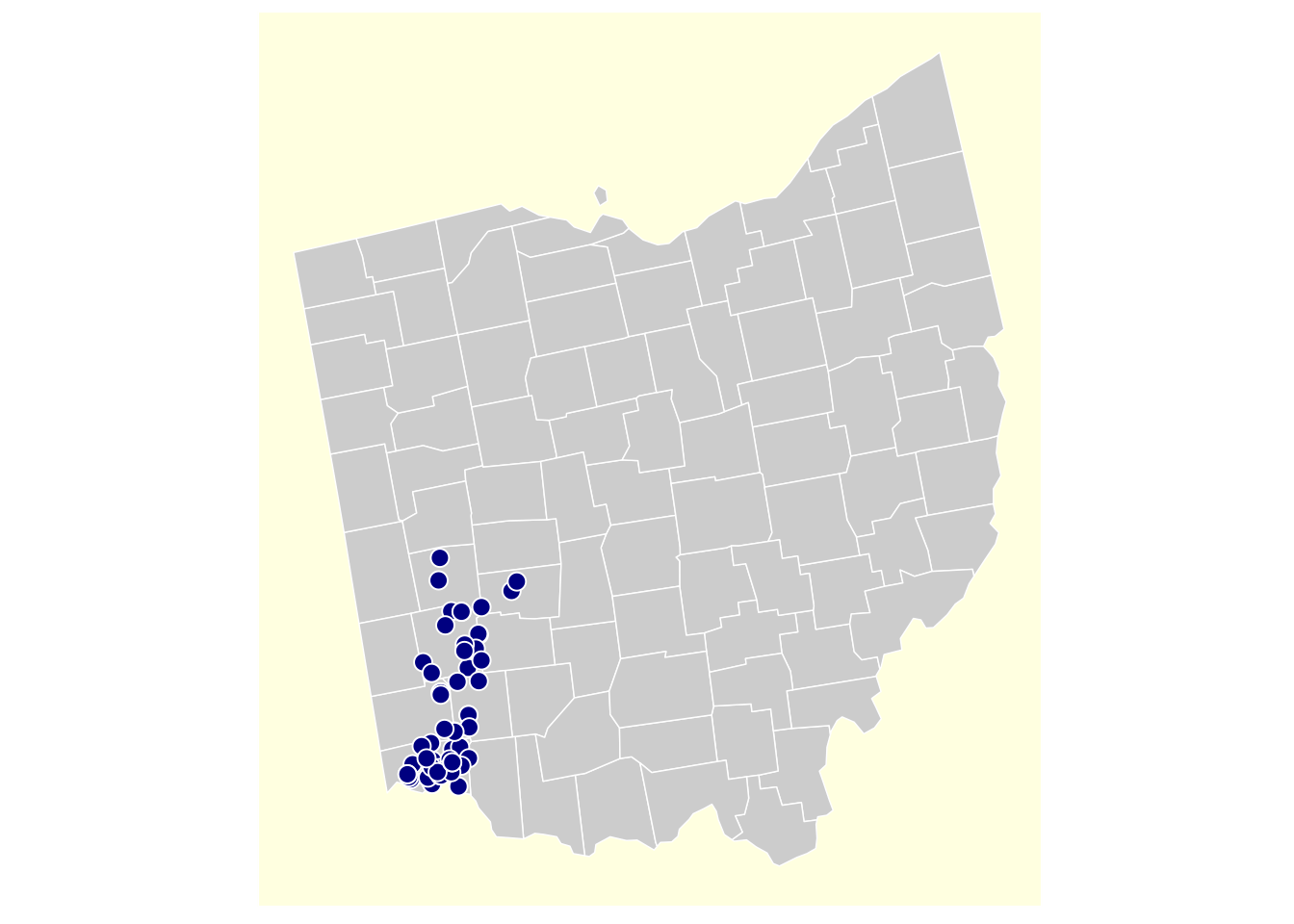
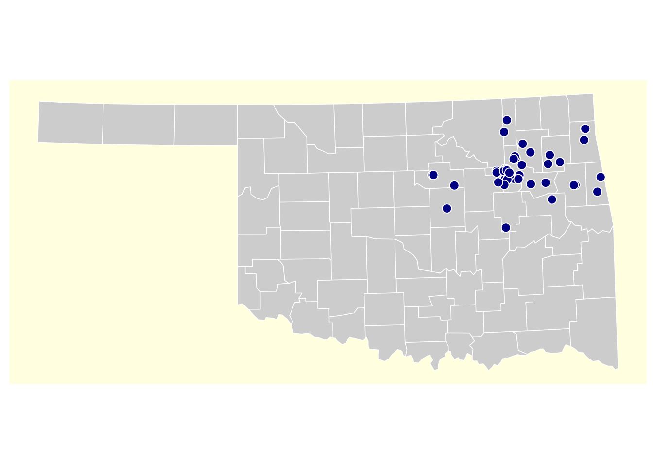
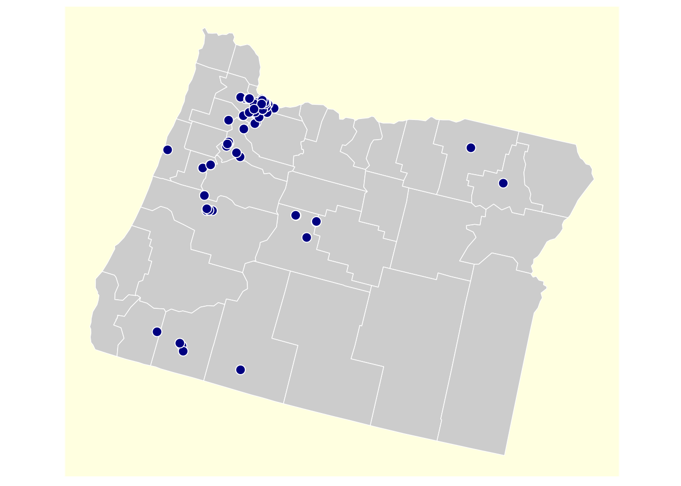
14 CPC Initiative
The Comprehensive Primary Care (CPC) Initiative - Participating Primary Care Practices dataset provides a list of practices involved in a multi-payer initiative which fosters collaboration between public and private health care payers to strengthen primary care.
Metadata
Resources
#> [CSV] 98.8K ☰ CPC Initiative - Participating Primary Care Practices
#> [PDF] 72.3K ☰ CPC Initiative - Participating Primary Care Practices Methodology
#> [PDF] 46.6K ☰ CPC Initiative - Participating Primary Care Practices Data Dictionary
Dictionary
#> Name of Initiative
#> Name of the initiative.
#>
#> Participating Practice
#> Participating practice's name.
#>
#> Participating Practice Location
#> Participating practice's location, including
#> longitude and latitude.
#>
#> State
#> State where the participating practice is located.
#>
#> City
#> City where the participating practice is located.
#>
#> Geographic Reach
#> Geographic reach of the participating practice.
#> This field is not currently in use.
#>
#> Street Address
#> Street where the participating practice is
#> located.
#>
#> Zip Code
#> Zip code of the participating practice. This field
#> is not currently in use.
Data
res <- quick("cpc_primary", limit = 5000) |>
  slt(
    practice = "Participating Practice",
    location = "Participating Practice Location",
    state    = "State",
    city     = "City",
    address  = "Street Address"
  ) |>
  mtt(
    location = stri_extract(location, regex = "(?<=\\().*(?=\\))"),
    lat      = stri_extract(location, regex = ".*(?=\\,)") |> as.double(),
    lon      = stri_extract(location, regex = "(?<=\\,\\s).*") |> as.double(),
    location = NULL
  ) |>
  sf::st_as_sf(
    coords = c("lon", "lat"),
    crs = sf::st_crs(4326),
    na.fail = FALSE
  ) |>
  usmap::usmap_transform() |>
  rsplit( ~ state, keep.by = TRUE)

plot_maps <- function(state) {
  plot_usmap(
    "counties",
    include   = c(state),
    color     = "white",
    fill      = "grey80",
    linewidth = 0.25
  ) +
    geom_sf(
      data  = res[[state]],
      fill  = "navy",
      color = "white",
      shape = 21,
      size  = 3
    ) +
    theme(panel.background = element_rect(color = "white", fill = "lightyellow"))
}